


Bell Trail #13 & The Crack at Wet Beaver Creek
Reviewed and updated by AZ Leisure Staff Writers on
Bell Trail #13 leads from the Verde Valley into Wet Beaver Creek Canyon and the Wet Beaver Wilderness southeast of Sedona. The popular day hike follows a historic trail through high-desert terrain to Bell's Crossing and The Crack, where red sandstone walls, perennial Wet Beaver Creek and a natural swimming area create one of the region's most distinctive hiking destinations.
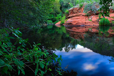
Bell Trail at Wet Beaver Creek Near Sedona. © Valerie Millett
- Trail Overview
- Bell's Crossing & The Crack
- Hiking & Safety Tips
- Trail Details
- Directions
- Trail Map
- Trail Photos
- FAQ
Bell Trail #13 Overview
Bell Trail #13 begins east of Interstate 17 near Wet Beaver Creek and follows an historic route toward the Wet Beaver Wilderness. The first portion crosses open high-desert terrain before reaching increasingly rugged red-rock canyon scenery and the riparian corridor along Wet Beaver Creek.
Bell Trail is the primary developed route into Wet Beaver Creek Canyon and the wilderness area beyond. Hiking, fishing, swimming and wildlife viewing are popular activities, while side paths provide occasional access to the perennial creek. The combination of exposed desert, sandstone cliffs, cottonwoods and flowing water gives the trail a character very different from many hikes closer to central Sedona.
Hiking To Bell's Crossing & The Crack
For most visitors, Bell's Crossing is the primary destination. The hike to the crossing and back is approximately seven miles round trip and is generally rated moderate. The trail gradually climbs above Wet Beaver Creek before descending to the water at Bell's Crossing.
Near the crossing is the popular swimming area known as The Crack, where Wet Beaver Creek flows through sculpted red sandstone. Water depth, temperature and current vary with season and recent weather, so swimmers should evaluate conditions carefully and never assume that jumping or diving conditions are safe.
Bell Trail continues beyond Bell's Crossing into more remote country. Hikers continuing past the popular day-hike destination should carry adequate water, navigation tools and supplies and should understand that the route becomes a longer wilderness outing rather than a short extension of the swimming-hole hike.
Bell Trail Hiking & Safety Tips
Bell Trail combines exposed desert hiking with canyon and creek environments. Carry plenty of drinking water, use sun protection and avoid underestimating the heat on the open portions of the trail. Summer hikers should start early and pay close attention to thunderstorms and flash-flood potential throughout the Wet Beaver Creek drainage.
Swimming conditions at The Crack and elsewhere along Wet Beaver Creek can change with streamflow, storms and seasonal runoff. Never assume that water is deep enough for jumping or diving, and avoid entering the creek when water is high, swift or muddy.
Bell Trail enters designated wilderness, where motorized vehicles and mechanized transportation are prohibited. Dogs should be kept leashed and under control. Camping, fire and other recreation restrictions can vary by location and season, so visitors planning an overnight trip should check current Coconino National Forest regulations before departure.
Visitors hauling horse or larger recreational trailers can use the nearby Bruce Brockett Trailhead, which connects with Bell Trail and provides more suitable parking for larger vehicles.
Bell Trail #13 Details
- Popular Hike: Approximately 7 miles round trip to Bell's Crossing
- Difficulty: Moderate
- Elevation: Approximately 3,867 to 4,265 feet on the hike to Bell's Crossing
- Trail Type: Out-and-back for the popular day hike
- Season: Hikeable during much of the year when conditions permit
- Popular Seasons: Spring and fall
- Dogs: Permitted on leash
- Horses: Permitted
- Water: Carry drinking water; do not rely on untreated creek water
- Trailhead: Bell Trailhead off Forest Road 618A
Directions To Bell Trail #13
From Phoenix
Take Interstate 17 north to Exit 298 for State Route 179. At the interchange, turn east onto Beaver Creek Road, also signed as Forest Road 618, rather than heading west toward Sedona. Continue approximately 2 miles to Forest Road 618A, turn left and follow FR 618A about one-quarter mile to the Bell Trailhead parking area.
From Flagstaff
Take Interstate 17 south to Exit 298 for State Route 179. Turn east onto Beaver Creek Road/Forest Road 618 and continue approximately 2 miles to Forest Road 618A. Turn left and follow the road about one-quarter mile to the Bell Trailhead.
From Sedona
Follow State Route 179 south from Sedona to Interstate 17 and use the Exit 298 interchange. Head east on Beaver Creek Road/Forest Road 618 for approximately 2 miles, then turn left onto Forest Road 618A and continue about one-quarter mile to the Bell Trailhead.
Bell Trail #13 Map
 Map of Bell Trail #13 near Sedona along Wet Beaver Creek
Current Trail Information
Before hiking Bell Trail, check Coconino National Forest recreation information for current trail conditions, closures, fire restrictions and wilderness regulations. Weather, flooding, wildfire activity and seasonal restrictions can affect access with little notice.
Bell Trail & Wet Beaver Creek Wilderness Photos
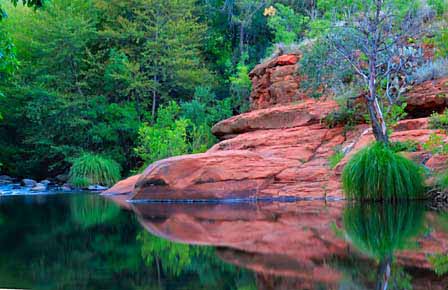
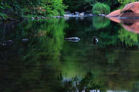
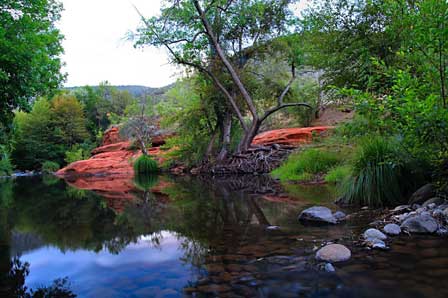
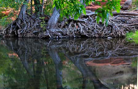
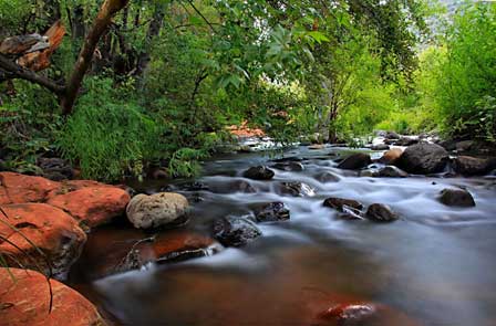
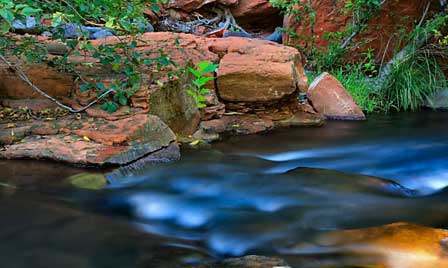
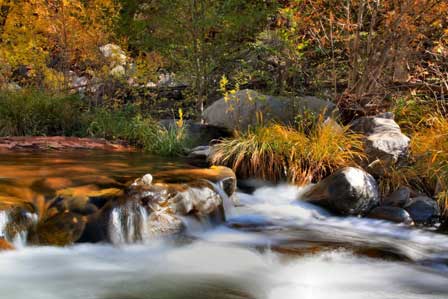
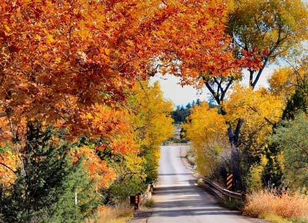
Valerie Millett has captured the scenery of Bell Trail and Wet Beaver Creek Wilderness in these photographs. The images are presented here for viewing and may not be reused without her permission. Visit the Valerie Millett Blog to see more of her Arizona photography.
Bell Trail #13 FAQ
Where is Bell Trail #13?
Bell Trail #13 is east of Interstate 17 near Exit 298, southeast of Sedona in the Wet Beaver Creek area of Coconino National Forest. The trail provides access into Wet Beaver Creek Canyon and Wet Beaver Wilderness.
How long is the hike to The Crack at Wet Beaver Creek?
The popular hike to Bell's Crossing and The Crack is approximately seven miles round trip. Bell Trail continues beyond the crossing for hikers planning a longer wilderness route.
Is Bell Trail difficult?
The hike to Bell's Crossing is generally rated moderate. The distance, exposed desert sections, rocky terrain and summer heat can make the hike more demanding than the elevation gain alone might suggest.
Can you swim at The Crack?
Swimming is a popular activity at The Crack and along portions of Wet Beaver Creek when conditions are suitable. Water depth, current and temperature change with weather and runoff, so swimmers should assess conditions carefully and should never assume that jumping or diving is safe.
Does Bell Trail have water?
Wet Beaver Creek is a perennial stream, but hikers should carry their own drinking water rather than relying on untreated creek water.
Are dogs allowed on Bell Trail?
Dogs are permitted on Bell Trail and should be kept leashed and under control. Owners should carry out all pet waste.
Can you camp along Bell Trail?
Camping restrictions apply in parts of the heavily used Wet Beaver Creek corridor, while other camping opportunities exist elsewhere in the surrounding national forest. Visitors planning an overnight trip should check current Coconino National Forest regulations before departure.
What is the best time to hike Bell Trail?
Spring and fall generally provide the most comfortable hiking temperatures. Summer visitors should start early, carry extra water and watch closely for excessive heat and monsoon thunderstorms. Winter hiking can also be pleasant when trail and weather conditions are favorable.
Related Information and Articles
- Popular Sedona Area Hiking Trails
- Sedona Hiking Trails Map
- Beaver Creek Camping Information
- Sedona Area Campgrounds
Enjoy Hiking In The Sedona Area











